New GIS Portal for Health Emergencies goes live
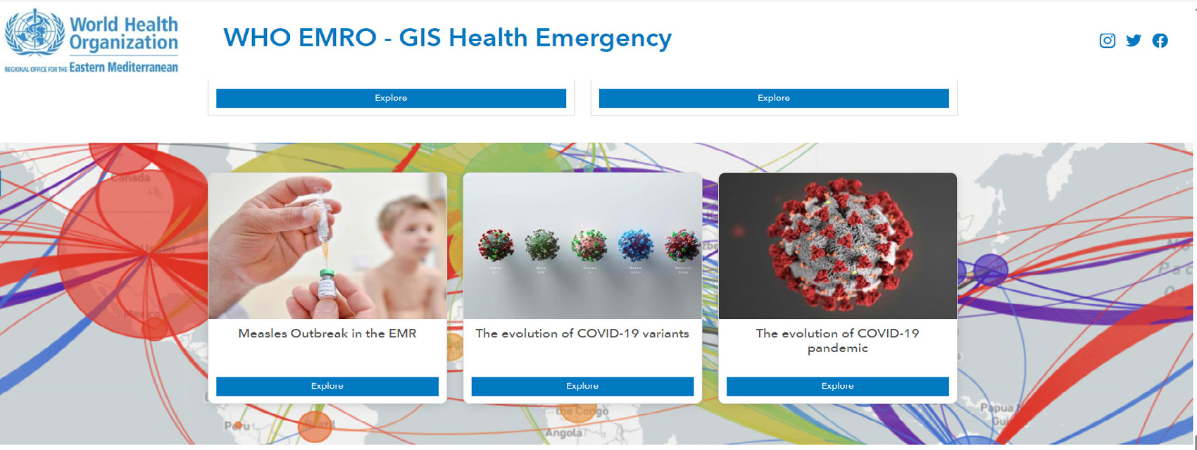
24 October 2023, Cairo, Egypt – A regional Geographic Information System (GIS) Portal for Health Emergencies has been developed and launched by the WHO Regional Office for the Eastern Mediterranean. The GIS Portal is a comprehensive hub, offering an updated geospatial resource to facilitate timely response during health emergencies at the regional and country levels.
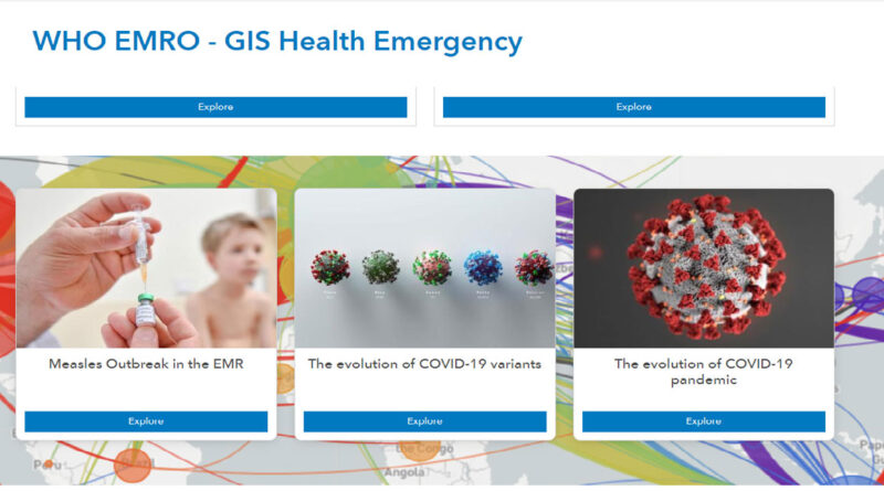
 ArcGIS StoryMap employs the power of storytelling.
The GIS Portal is an invaluable tool in the domain of public health. Accessing accurate and timely information is crucial, especially in an era of unprecedented challenges to global health. The GIS Portal offers the capacity to transform spatial and nonspatial data into insights that provide the necessary support to decision-makers during health emergencies.
The new resource serves as a centralized repository for updated geospatial data and dashboards for important health events in the Region. Moreover, it introduces an automated GIS application for interactive signal and events maps, which senior management can use to identify current and past health events.
Using new GIS technologies, the GIS Portal can better convey background information for selected emergencies, which enhances the emergency response. Moreover, the GIS Portal uses ArcGIS StoryMap, an innovation that employs the power of maps to tell stories that matter in an interactive and engaging manner.
Continuous improvements of the GIS Portal are vital, given the evolving situation of health emergencies globally and specifically in the

