Wildfire smoke maps: 4 best sites for tracking the smoke
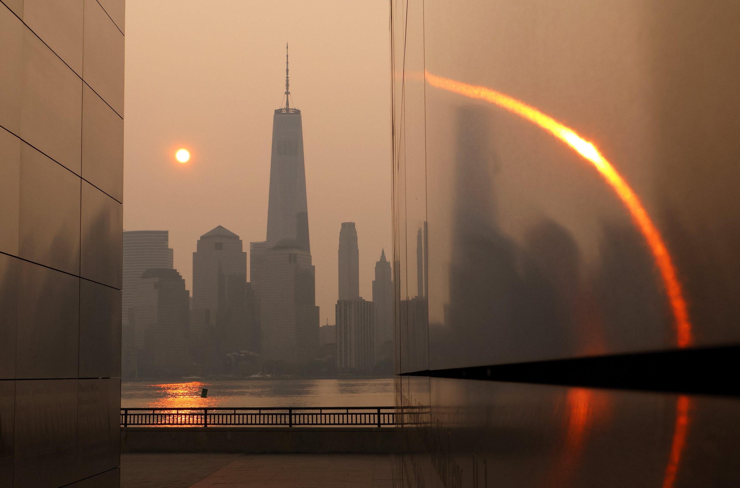
Hazardous smoke from Canada’s historic wildfires is an unpredictable and complex phenomenon, but precisely what’s happening doesn’t have to be a mystery. You can track it in real time if you know where to look.
Wildfires can be normal and healthy parts of an ecosystem, but today’s fires can burn into unnatural infernos, producing unhealthy smoke that adversely impacts people’s health hundreds of miles away. Different regions, at different times of year, will have a variety of influences stoking flames. Yet the continually warming atmosphere, which turns vegetation into profoundly parched fuel, is often a significant contributor in extreme fires, as are overgrown and mismanaged forests, invasive plants, and other factors.
Where can I see where the smoke is now?
A good provider of real-time updates about the smoke in the northeastern U.S. is the Cooperative Institute for Research in the Atmosphere at Colorado State University in conjunction with the National Oceanic and Atmospheric Administration.
Their “Canada Wildfires” page provides detailed and accurate animations pulled from satellite data. These are regularly updated, reliable, and easy to recommend if what you need is precision.
Where can I watch live updates about current air quality?
The local ABC news affiliate in New York City is running non-stop updates about air quality via its YouTube channel. This also includes a regional smoke map covering the greater New York City area, including parts of New Jersey, Pennsylvania, and Connecticut. There are also periodic messages and safety advisories.
Where can I see where the smoke will be soon?
The Space Science and Engineering Center at the University of Wisconsin—Madison is currently providing a map based on satellite data that projects what smoke patterns will look like in the near future.
This map is at its most useful if you actually visit the UW—Madison website and make use of its interactive options for viewing its data projections. As of this writing, New York City looked like it was in for another full day’s inundation, unfortunately.
Where can I see how bad things look?
There’s no better illustration of the sheer drama of this event than the New York Harbor Ship Cam located at Brooklyn’s Waterfront Museum. Locals will know this view well, and it won’t be lost on them that this camera usually scans a scenic vista, including the Statue of Liberty. At the time this was being written, all that was visible was orange haze and sepia-tinted ocean waves. It’s almost pretty, but so, so bleak.